Record Title : [Creator unknown]
Taita district 1940 [copy of ms map]. 1940
Reference Number : MapColl-832.4794gbbd/1940/Acc.37623
Physical Description : Diazo photoprint, scale indeterminable, 64 x 45 cm.
Quantity : 1 map(s)
Scope and Contents : Cadastral map of the Taita district, from Lincoln Ave northeast to CT 228/154, showing numbered sections, acreage and owner”s names. Names of owners with over five acres include: GJJ Mitchell, AR Barnes, G August and Alice August, G Hooper, Mona C Ronning, J Bentley & CE Bentley. P Walters, VE Bradstock, Public trustees, EW Saunders, Emily K Ray, JE August, H L August, CL Harris, L Harris, TJ Harris, D Dickee, Caroline M McGrath, Hutt River Board, PCA Cameron, A de B Brandon, Alice M Bennett, WMW Buck, Marjorie McKenzie, WF Ward, Mary A McKenzie, Taita Cemetery, F S Hewer, F Ferretti, JC & Grace Mabey, F Bartlesen, R Bartosh, F Westbury, J Robertson, J F Walters, A Walters, C S Brandon, Florence E Grove, Jean Ford, P C Armitage, J H Butler, F S Hewer, CK Drummond, A Gadsby, SJ Avery & 7 others, Isabella Gordon, A Gordon & Isabel Pescini. Several properties between 3 and 7 acres are marked ”Native owners”.
Roads, mostly unnamed and one proposed, the Taita cemetery, part of the railway line to Napier, and part of the Hutt River are shown. The survey district is Belmont, IX and X. Pitcaithly”s Siding is shown.
Other Notes : Written under title (before copying): Lance Hall collection
Includes an inset map of a different scale showing five properties on the southern side of the Main Hutt Road, between the cemetery and south of the Mabey Road intersection.
Signed L Hall, 1940.
Provenance : Lance Hall collection, donated by Lower Hutt Public Library. Location of original unknown.
Restrictions : Unrestricted
Use/Reproduction : Photocopying not permitted. Reproduction requires the permission of the owner of the original.
Issue Status : Issuable ITEM
Names : Taita Cemetery (Lower Hutt) (as a related subject)
Hall, Lance, 1899-1985 (Creator)
Lower Hutt Public Library (as the donor/lender/vendor)
Subjects : Wellington Region (N.Z.) – Maps
Cadastral maps
Land tenure – New Zealand – Wellington Region
Maori – Land tenure – New Zealand – Wellington Region
Places : Taita
Lower Hutt
Image Type : Maps
Search Dates : 1940 – 1940
from web site http://tapuhi.natlib.govt.nz/cgi-bin/spydus/FULL/GLOBAL/OPCOMB/18/757251,385 Accessed: 30 May 2011
ALSO SEE BUCK
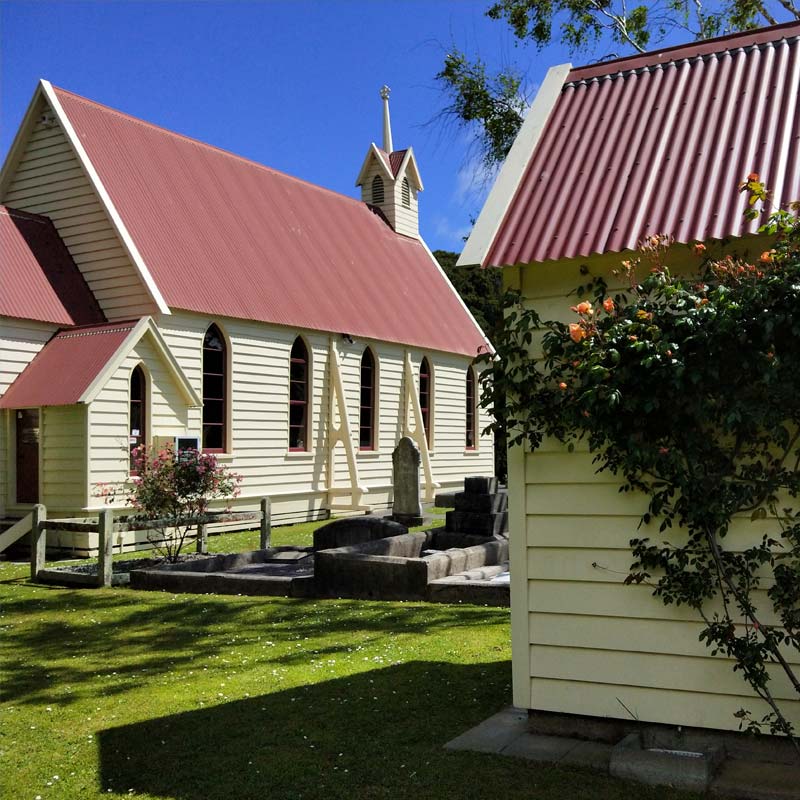
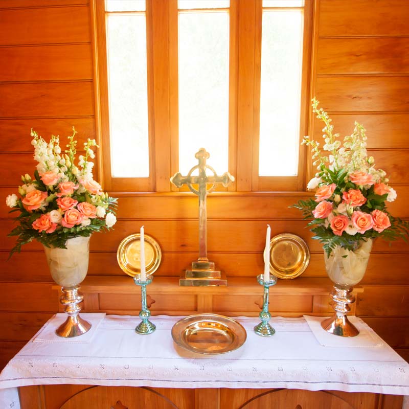
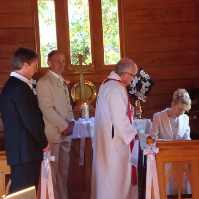
Wedding Venue Bookings
To book a wedding email
or phone Daphne Daysh 04 977 2055 or 027 687 2055


